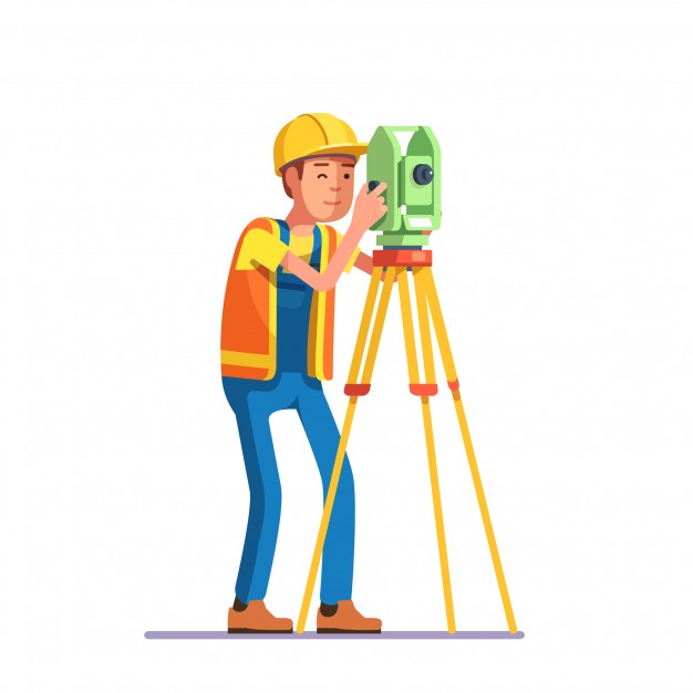
Building topographic survey is a major part of the process for building construction. They help the architect and engineer to plan the landscape of the future site and determine the building layout. Without building topographic surveys, it could be difficult to build on a piece of land that has not been carefully measured and levelled. This makes it vital that the land is surveyed before any foundations or footings are built.
Topography, as defined by Wikipedia,is the physical description of places on the surface of a flat surface. All of the different topographical features that exist on the surface of the earth are known as terrain. A person who studies building topography is called a a surveyor. He uses the concept of topography to characterize the different elevations on the surface of the earth and to determine the connection between them.
Many different types of topographic survey are encountered when building a building site. This variety should be considered when planning the site design, including building topography. This encompasses many aspects of building site topography, including terrain, environmental considerations, topography features, and utilities.
Most often, a building topographic survey is performed prior to any foundations or footings being placed on the land. In fact, many states require building topography reports be done before any foundation is ever laid. This is because the state wants to know the stability of the soil and the potential for landslides. Knowing the stability of the site is important so that the foundation of the building is not damaged in an earthquake or while sliding in the road.
There are many factors that need to be considered when constructing a building. One of the most important considerations is the site’s topography. A building topography survey is performed before the construction process begins to determine what will be built on the land. It is also used to determine what kind of foundation will be used on the site, what materials to use, and the location of key utilities.
Why should the owner of the land to perform a building topography survey?
A good topography survey will determine if the building can be built on the land-based on the current topography. By determining what is the best foundation for the building and what materials to use, a landowner can avoid unforeseen problems later on. If a foundation is built on a hill, the building may slip on the hill. By performing a building topography survey before construction begins, a landowner is able to make intelligent decisions about what to build on the land.
Building on a flat site is much easier than building on a slope. Construction on sloping land requires extra attention to building safety. When a building is being constructed on a slope, the engineer must be aware of how the building will behave when it is eventually slippery. It is impossible to predict how a slope will change before it occurs. An accurate topography survey will help the engineer to make the best choices about what materials to use in order to provide the safest foundation for the building.
Techniques
The approach to studying topography depends on the scale of the study area, its accessibility, and the quality of existing surveys. There are two broad techniques to do surveys.
- Direct Surveys
- Remote Sensing
Direct Surveys
Direct survey is the act of measuring and evaluating earth surfaces using instruments like theodolites, tachometers ,dumpy levels and clinometers.
The direct survey technique isn’t new. Although topographic surveys have been around for 2,500 years, the direct survey technique was formalized in the mid 16th century. Years later, it became a standard practice of land surveying throughout Europe and North America. And while technology has advanced a lot, this technique still serves as a basis for accurate survey work.
Remote Sensing
Remote sensing is a series of procedures used to collect geodata at a distance from the subject area. It differs from other forms of earth observation, such as aerial photography/aerial imagery, in that it doesn’t involve physical contact with the object of study. In essence, it is not necessary to travel to a place in order to collect information about it. This includes satellite-based remote sensing, aerial photography, LiDAR, radar, and solar power satellite.
Tameerkaro construction company has experience team of architects and engineers to assist you in your next building project. Call 0300-0556666 or visit Tameerkaro website to send an online inquiry.

